Recommended Routes & Itineraries
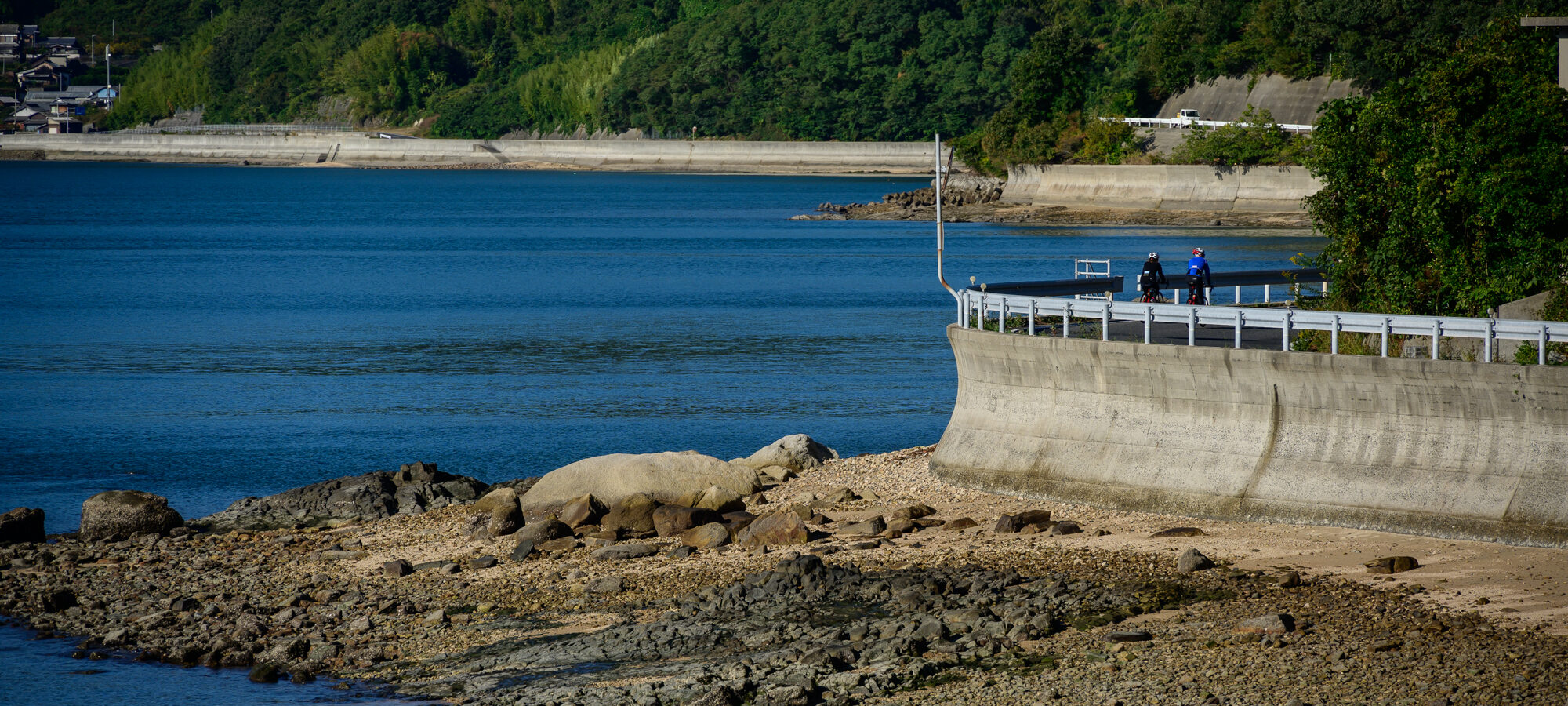
Three Days on the Shimanami Kaido (Onomichi to Imabari)
Giving yourself three days on the Shimanami Kaido allows you to complete the main Blue Line route and explore the Omishima, the largest of the islands and which gets short shrift from the main route. Be warned, however, a three day trip is just long enough to get you thinking, “Maybe I’ll just stay here for the rest of my Japan trip…”
DAY 1 Onomichi to Setoda
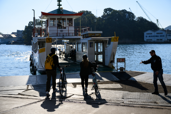
Onomichi Port
・10-min ferry across the Onomichi Channel to Mukaishima Island (100 yen/person, 10 yen/bike)
・After approx 3 km, turn south along Mukaishima’s east coast which offers great views of the Innoshima Bridge.Approx 10km
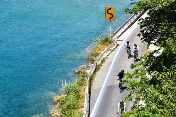
Tachibana Coast
・There are several cafes offering snacks and lunches along the pretty Tachibana Coast.
・Climb up to the Innoshima Bridge which has a dedicated cycle lane under the bridge.
・Descend to Innoshima Shimanami Beach (behind the big white dinosaur!).Approx 12km
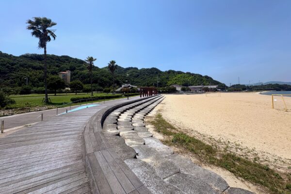
Innoshima Shimanami Beach
・Spacious beach park with a cafe, playground and summer leisure pool.
・From Innoshima Shimanami Park, it is approx 10 km along the coast to Ikuchi Bridge.
・Look out for Moai statues and Hakko Fermentation Park along the way.Approx 12km
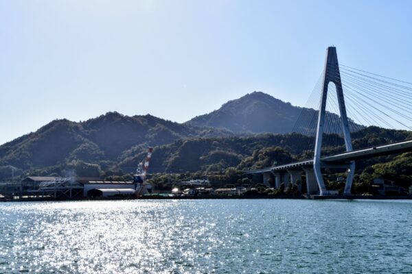
Ikuchi Bridge
・Enjoy great views as you cross the 490m Ikuchi Bridge.
・Look out for public art works as you cycle along the coast with views of the “heron” sand islands. Setouchi Dolche is a popular stop for gelato along hereApprox 8km
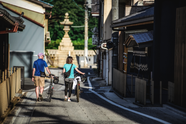
Setoda
・Setoda is a pretty port town with cafes, restaurants, shops and interesting places to visit.
・Setoda offers a range of accommodation from cheap hostels to high end ryokan and glamping options.
・Staying overnight also means you can enjoy the sunset from Setoda Sunset Beach.
◆ Notice
✔︎Cycling for the day: Approx 35 km
✔︎Recommended Bike: Cross Bike, E-bike
Day 2 Exploring Omishima
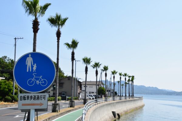
Setoda
・Loosen up the legs with a morning stroll around Setoda.
・The road south passes Setoda Sunset Beach before climbing up through the orchards of Lemon Valley to the impressive Tatara Bridge across to Omishima Island.Approx 8.5 km
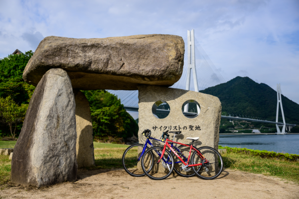
Tatara Shimanami Park
・Tatara Shimanami Park is a major rest stop along the “Blue Line” route. As well as bathrooms, a restaurant, fast food outlets, a farmers market, and souvenir shop, it is home to the “Cyclist Sanctuary” monument.
・Begin your exploration of Omishima by leaving the Blue Line and headlong the northeast coast of the island, passing the stylish WAKKA hotel and cafe before turning inland towards Oyamazumi Shrine.Approx 6 km
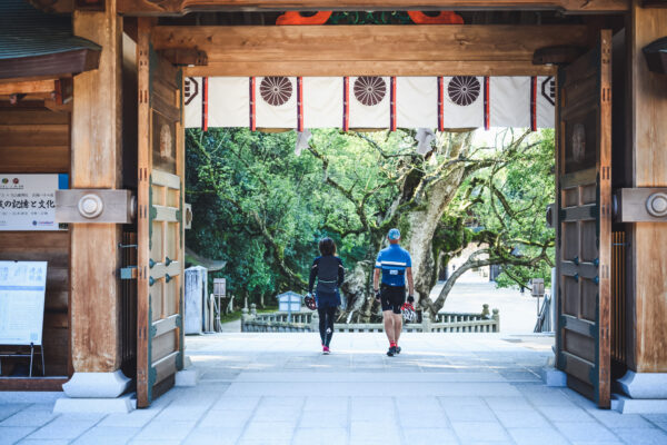
Oyamazumi Shrine
・Oyamzumi is an ancient shrine with impressive camphor trees within its grounds that are in the region of 3000 years old.
・In the small town that surrounds Oyamazumi Shrine you will find a handful of cafes, restaurants and even a craft brewery and winery.Approx 2 km
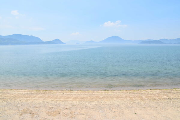
Utena Beach
・Utena Beach is a pretty, white sand beach with limited facilities. Overlooking the beach is the Mare Gracia hot spring facility and the nearby Hakata Salt Factory is open to the public.
Approx 8km
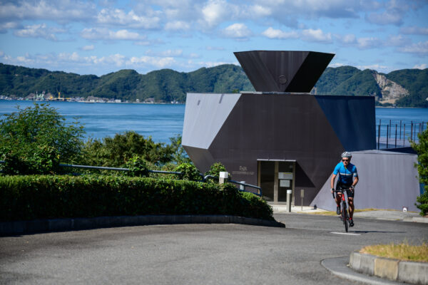
Omishima Tokoro Museum and Toyo Ito Architectural Museum
・The road to these two architecturally distinctive museums is quite hilly, but the views from both facilities are worth the effort.
Approx 3 km
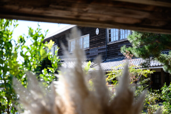
Omishima Ikoi no Ie
・It’s all downhill to Omishima Ikoi no Ie, a hotel and rest stop in a repurposed wooden schoolhouse, designed by the architect Toyo Ito.
・Adjacent to Omishima Ikoi no Ie is the open air Imabari City Ken Iwata Mother and Child Museum.Approx 1km
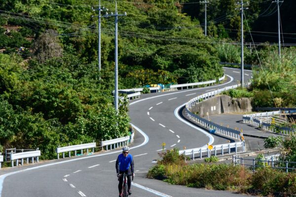
Yahoo! Hill
・Also known as “Lightning Bolt Hill” for the way it curves like a giant “S”, the just-over 1 km-long Yahoo! Hill is one of Shimanami Kaido’s iconic cycling locations
Approx 10 km
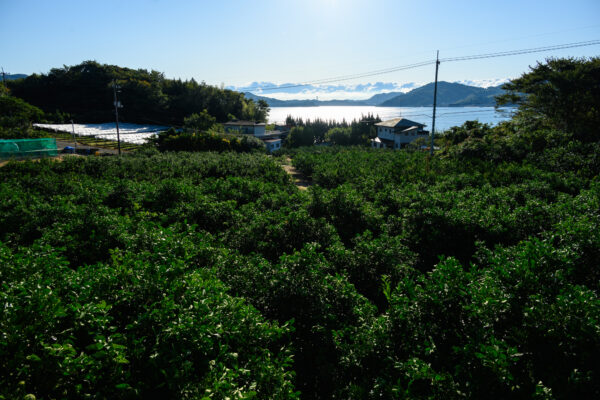
Omishima Bridge Approach
・After descending from the top of Yahoo Hill! The road follows the coast with great views of the Kurushima Straits Bridge in the distance. After passing through the 814m Nonoe Tunnel, the road starts to ascend gradually before a climb up and over towards the Omishima Bridge where you rejoin the main Onomichi and Imabari Blue Line route.
Approx 5 km

Tatara Shimanami Park
・The rest of the Blue Line awaits, but, for now, return to Tatara Shimanami Park. Please see our Omishima page for a list of accommodation on the island.
Day 3 Omishima to Imabari

Tatara Shimanami Park
・After rejoining the main Onomichi and Imabari Blue Line route, head south to the Omishima Bridge.
・After crossing the Omishima Bridge to Hakata Island, look out for Shimanami Shipyard.9km
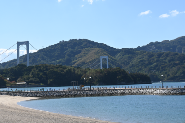
Hakata Beach Park
・As well as a small eatery and souvenir shop, Hakata Beach Park has a white sand beach with a great view of the Hakata-Oshima Bridge. Hakata salted soft serve ice cream is a favorite here.
・Once across the Hakata-Oshima Bridge, the Blue Line takes you along the northeast coast of Oshima Island with glorious views of the former Suigun pirate stronghold of Noshima.5km
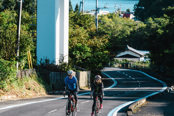
Miyakubo Port
・The 2.5km climb to Miyakubo Pass is the most challenging climb of the day.
・Please watch your speed on the descent once over the pass.9km
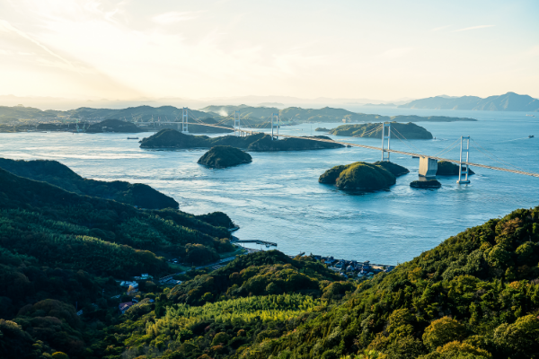
Iki Iki Kan Rest Stop
・Snacks, souvenirs, and even fresh seafood BBQs are available at Iki Iki Kan Rest Stop at the foot of Kurushima Straits Bridge.
・The 4-km Kurushima Straits Bridge is a highlight of the ride, but you have to get there first! The climb up to the bridge is a gradual climb on a bike path that is almost 2 km long.
・Be mindful of oncoming cyclists and pedestrians on the bridge and going up and down the access ramps.6.5km
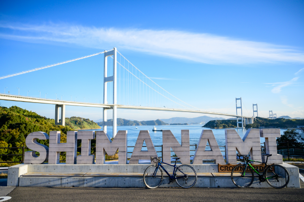
Sunrise Itoyama
・You are almost there! Sunrise Itoyama at the end of the Kurushima Straits Bridge is the final rest stop before Imabari Station. Don’t forget to snap your souvenir photo in front of the SHIMANAMI sign with the Kurushima Straits Bridge in the background.
・From Sunrise Itoyama, the rest of the ride is on public roads to Imabari Station. Please take care as traffic can be heavy along this section.6 km
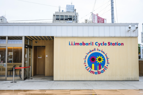
Imabari Station
◆ Notice
✔︎Cycling for the day: Approx 45 km
✔︎Recommended Bike: Cross Bike, E-bike


