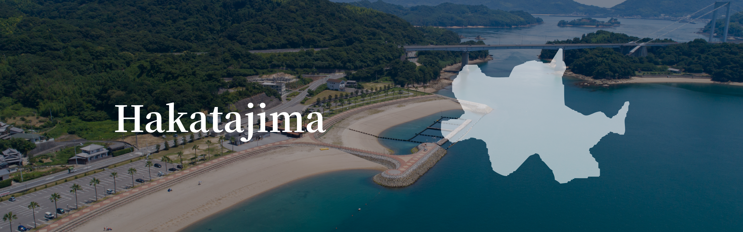
Hakatajima Island, the smallest of the islands along the Shimanami Kaido, is known for Hakata Salt and for having one of the prettiest cherry blossom viewing spots in the region.
Hakatajima (伯方島)
| Blue Line | Approx 3 km |
|---|---|
| Cycle terminals | Hakata Rental Center (Hakata SC Park) |
| Circumference | Approx 20 kmm |
| Area | 20.93 ㎢ |
| Highest point | 304m |
| Population | Approx 5,600 |
Hakatajima Along the Blue Line
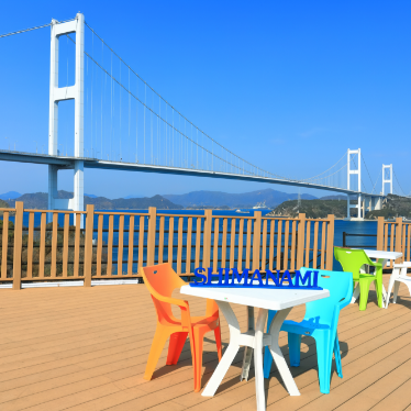
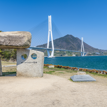
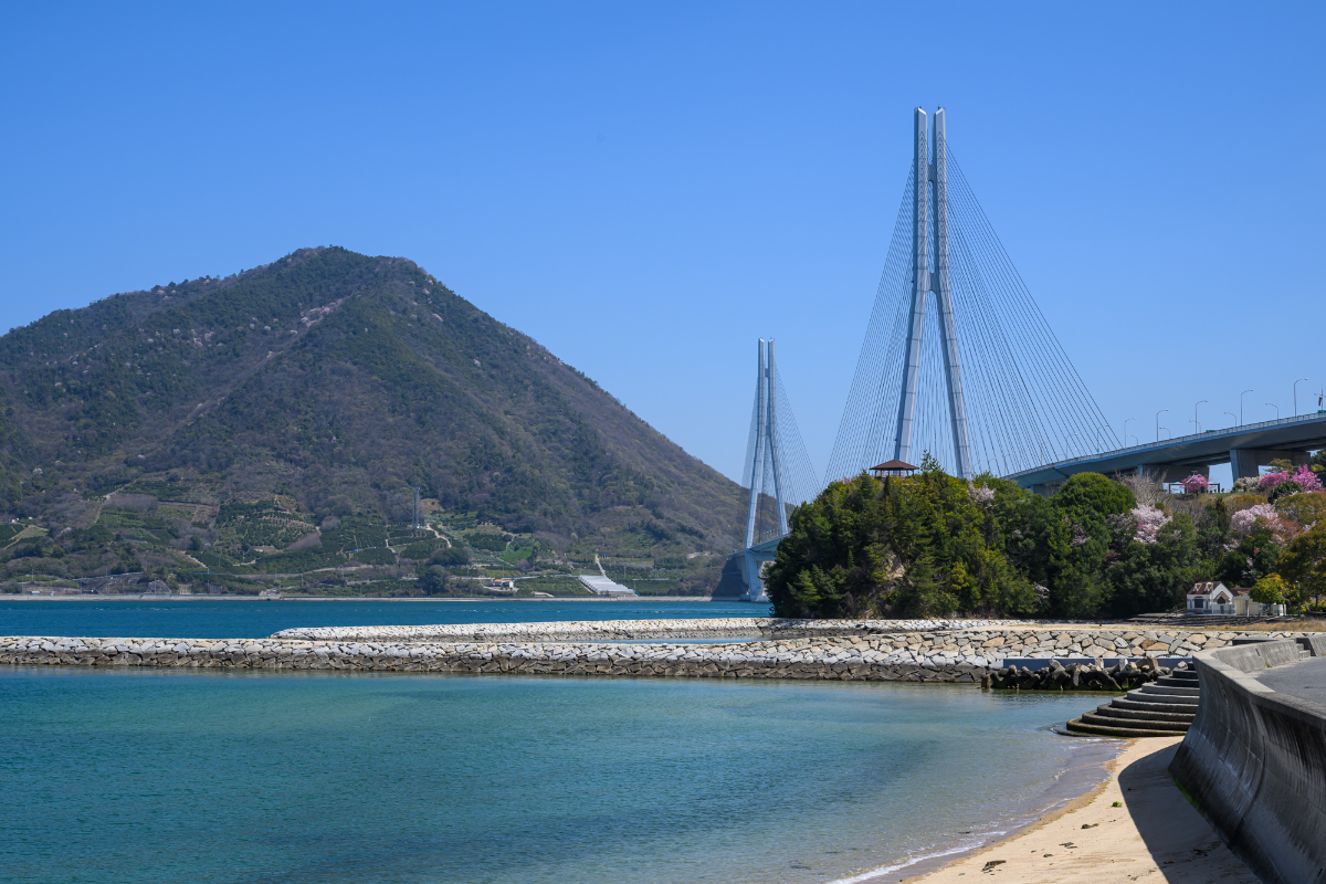
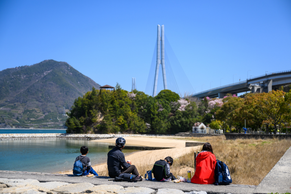
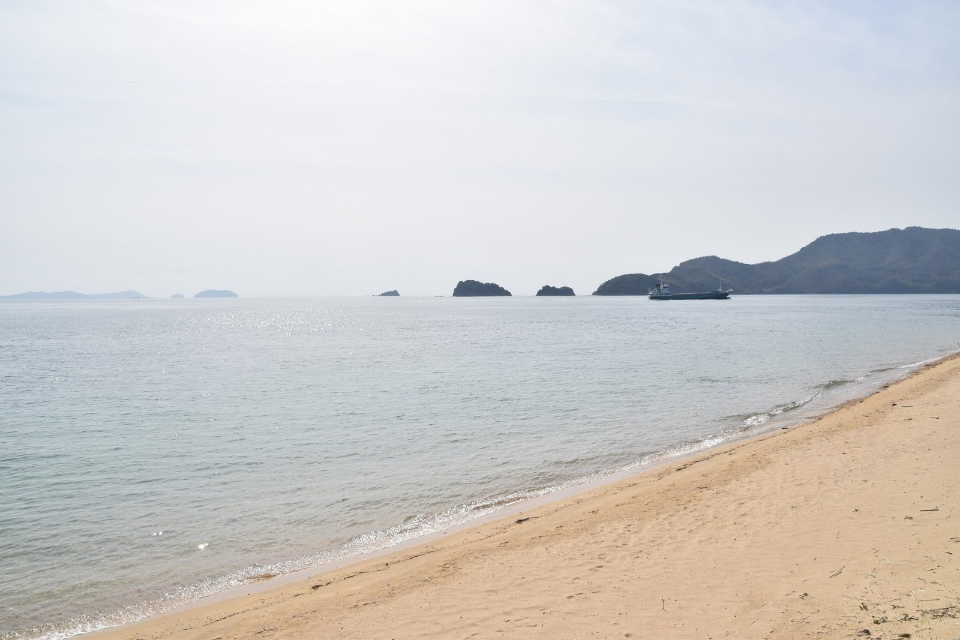
Hakatajima, like neighboring Omishima, is only barely touched by the Blue Line route, skirting its western side for approximately 3 km. Approaching from the direction of Onomichi, the route takes you over a hill, past a shipyard and on to the Marine Oasis Hakata rest stop next to Hakata Beach. This is the place to grab a salted vanilla soft serve ice cream and chill out by the beach, taking in the view of the Hakata-Oshima Bridge.
Next to the beach is a small Dolphin Park where visitors pay to feed, touch and take a swim with the resident dolphins.
Hakatajima Beyond the Blue Line
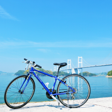
Although Hakata Island lacks famous tourist attractions, the mostly flat 20-km loop of the island makes for a very pleasant bike ride.
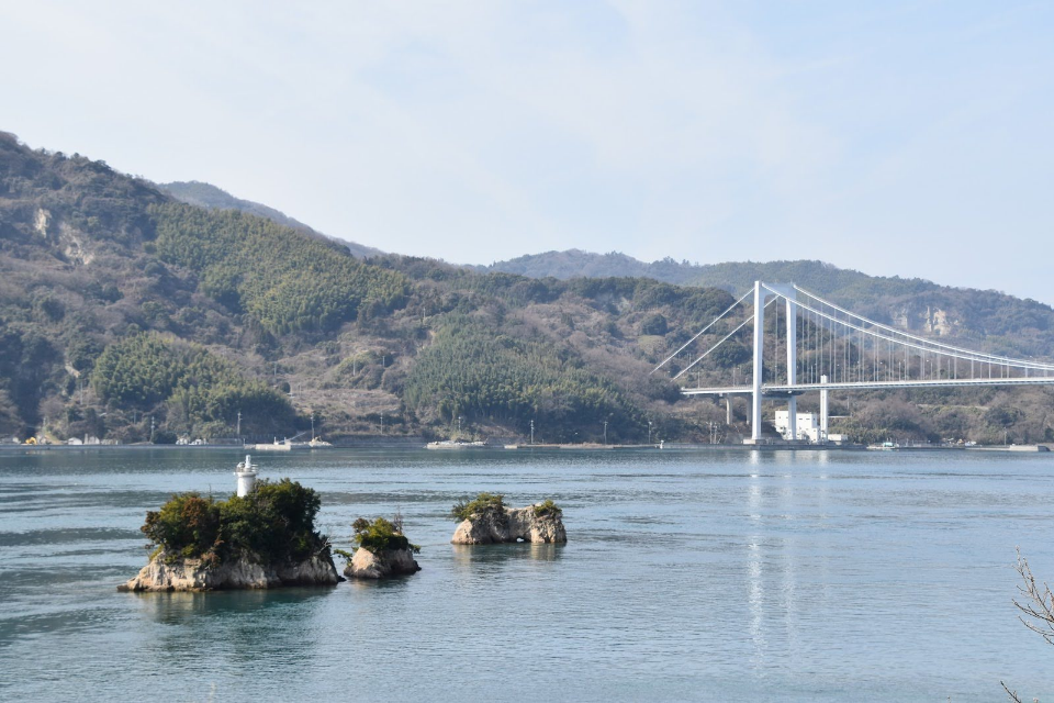
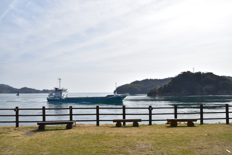
Heading anticlockwise from Hakata-Oshima Bridge, the road offers beautiful views of a narrow channel punctuated by rocky outcrops said to resemble a hen and its chicks, framed by the Hakata-Oshima Bridge. The currents around here are fast and can be so treacherous that one part is called ‘Funa-ori Seto’, which translates as “break boat strait”. There are two simple, but well-maintained (and equipped with western toilets)campsites along this stretch of road which both offer great views over the channel and the boats, large and small, that pass through at regular intervals. Another basic campsite is on Michikajima, a little island accessible only from the.
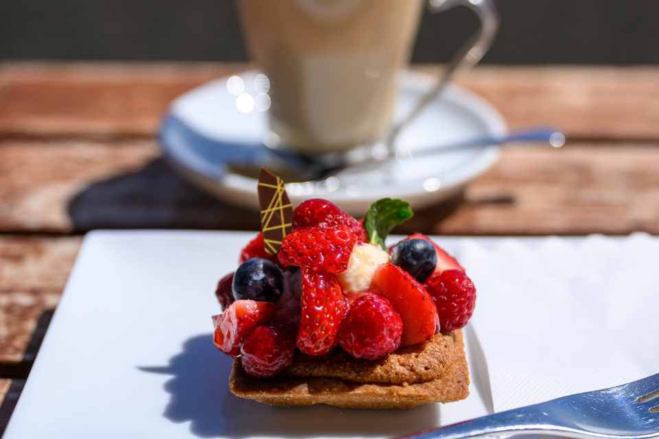
Be on the lookout for the easily missed Patisserie T’s Cafe Tamaya which serves tasty lunches and gorgeous desserts accompanied by sea views.
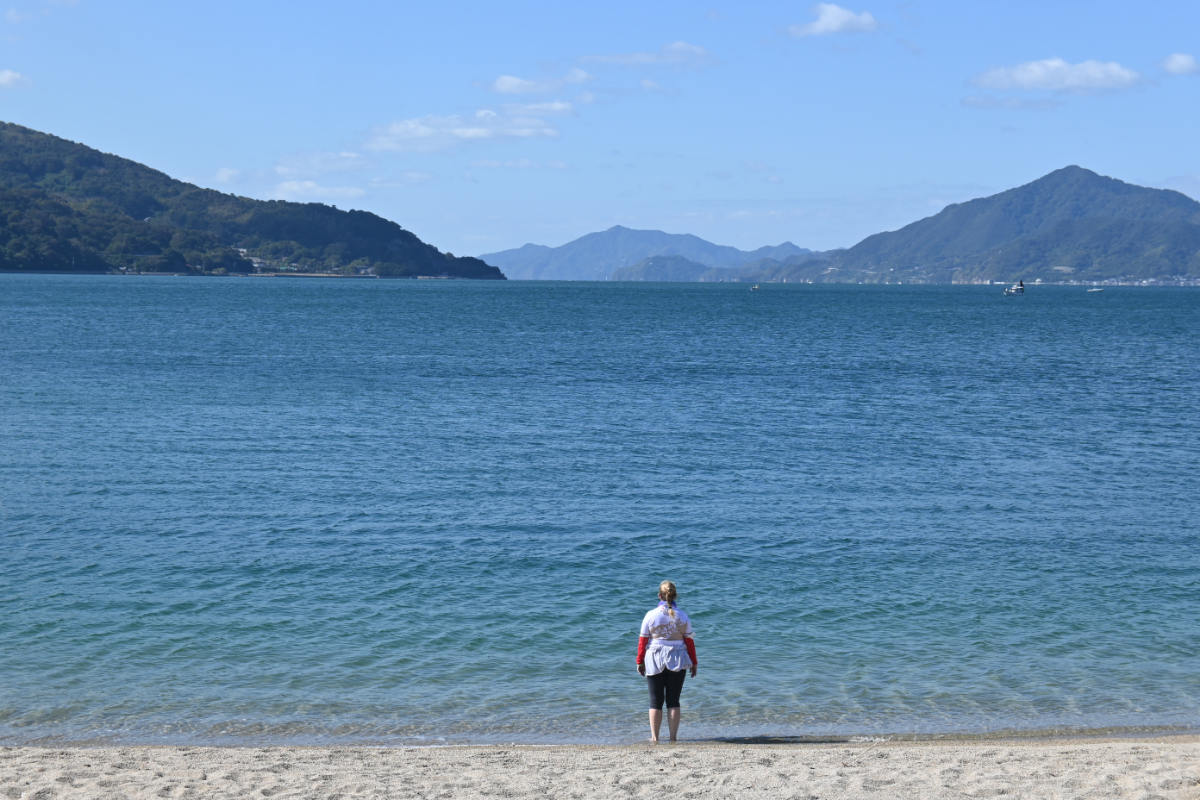
Further along the coast you can take a side road to Oura Beach which, for a Seto Inland Sea beach, is both quite long and relatively clean.
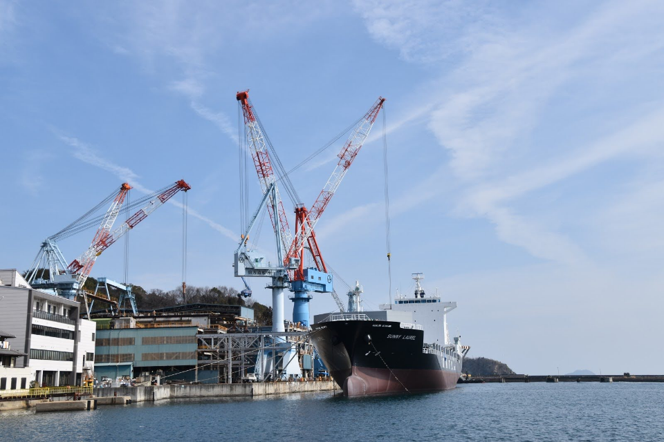
The road climbs to the Furusato Rekishi Koen, a small historical museum with good views over ships being built in the shipyard below, before sweeping down to a stretch of coastline lined with (mostly former) salt making lagoons.
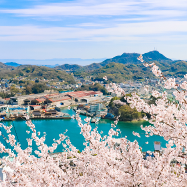
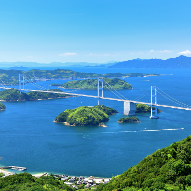
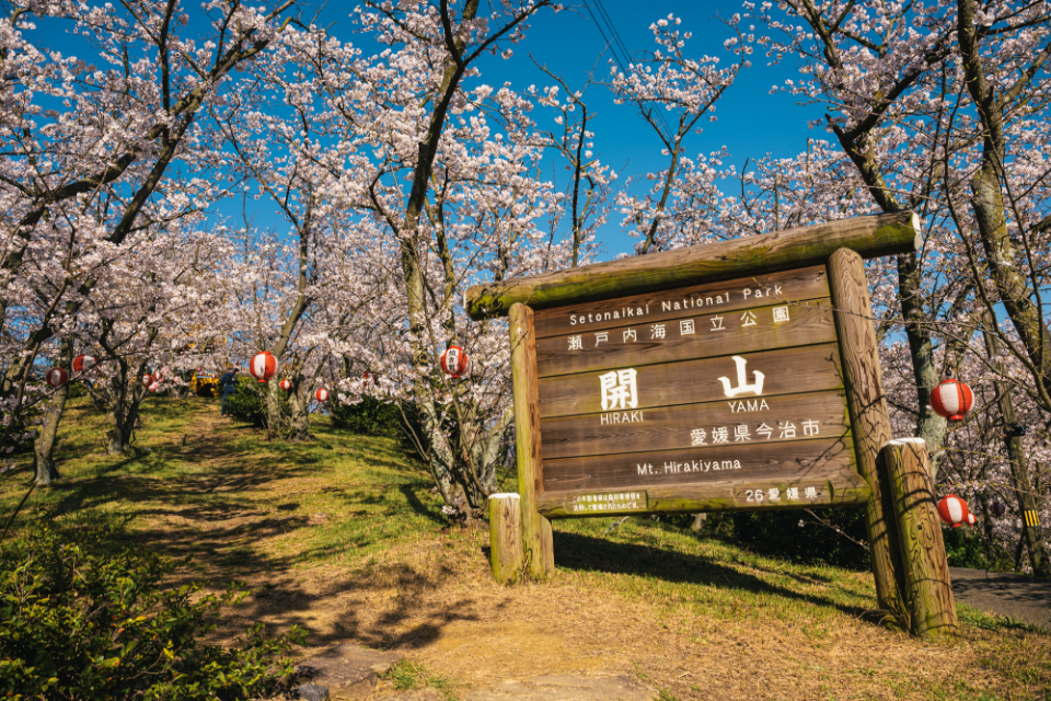
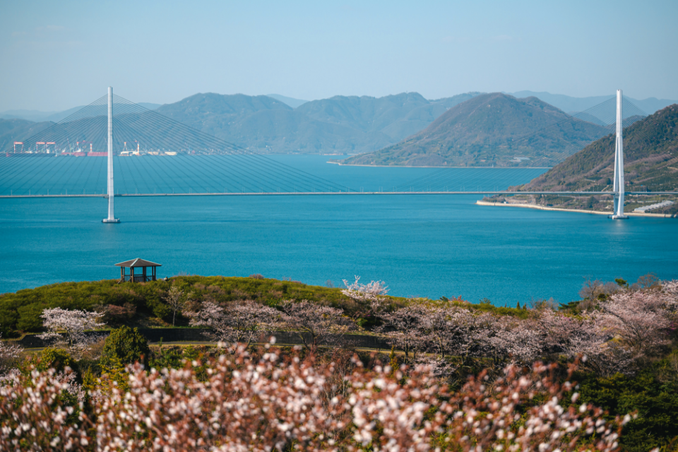
In the island’s northeast corner is 149-m high Mt Hiraki (Hirakiyama). It’s a 2-km climb but your efforts are well rewarded with an outstanding 360 degree view from the observation platform. Around 1000 cherry trees cover, and, when in bloom, people flock here to enjoy the sight of a band of pink between the clear blue sky and the deep blue sea.
◆ Accommodation List
| Seto Ryokan |
| Salthouse |
| Minshuku Uszushio |
| Sarasaya Ryokan |
| Matsuzaki Ryokan |